Phase 0: Remote analysis
A retrospective analysis run entirely on existing certified farm polygons in one origin. Two to three months, and the fastest way to start.
MOONSHOT PROJECT
PROPOSED PROGRAM · RESEARCH DESIGN
Almost no repeated, standardized biodiversity data exists for the agricultural landscapes that cover most of the tropics. We're building the first large-scale measurement of it, and releasing the model and methodology openly.
THE GAP
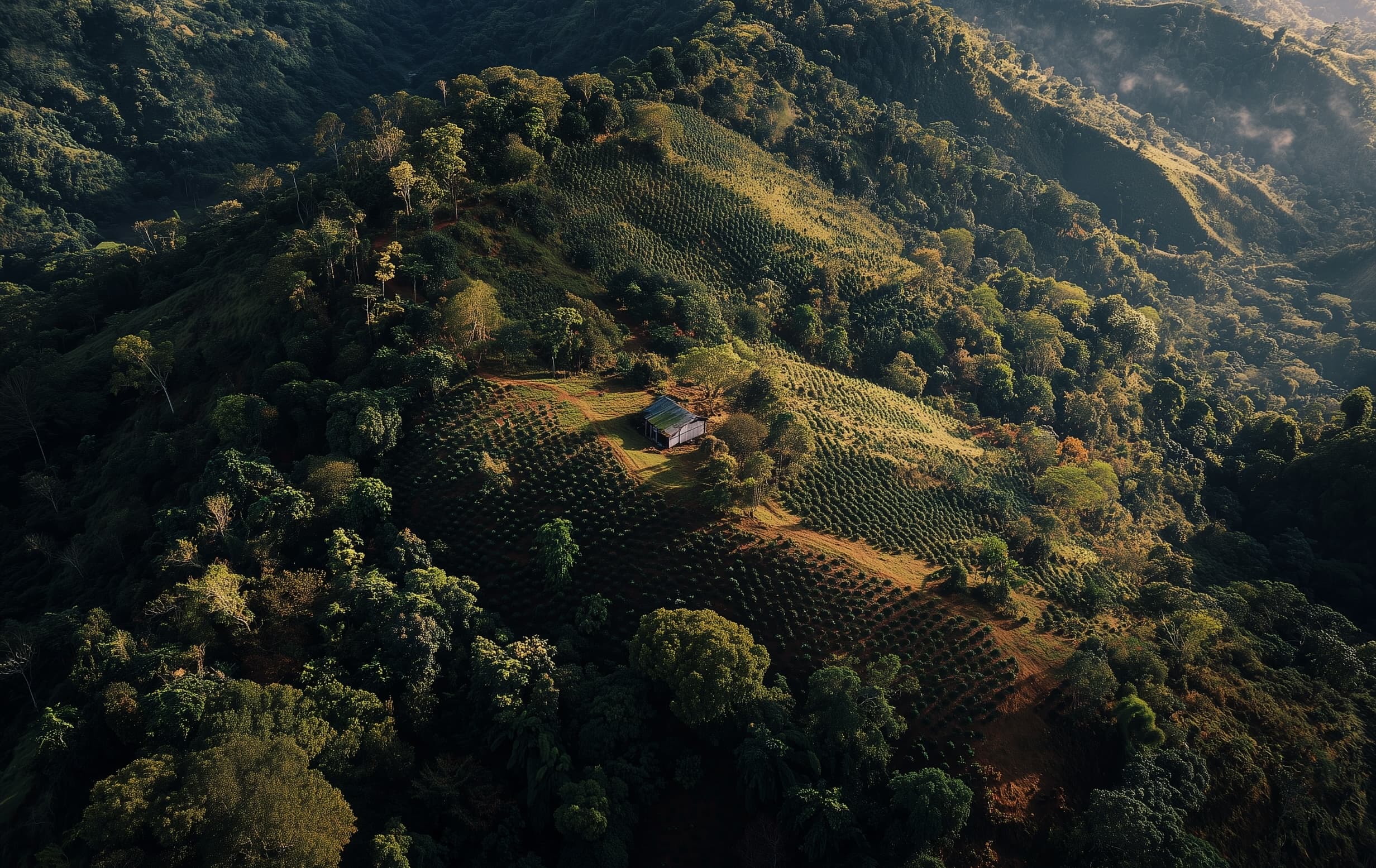
Global biodiversity products are built for protected areas and intact habitat; they describe farmland through coarse proxies. The bottleneck is ground truth. eDNA, acoustic and satellite data can already be combined to predict community composition at fine resolution, but the training labels available today are sparse, unstandardized and concentrated on wild land. No one has built a large, repeated, standardized biodiversity dataset for tropical agricultural landscapes.
The access already exists: a global certification network reaches more than 8 million hectares of certified coffee, cocoa and tea farmland across 33 countries every year, with annual field visits already funded and scheduled, and farm geolocation collected through EUDR-aligned certification. No research institution or conservation organization holds that kind of repeated, working-lands access, and it has never been used scientifically.
SCOPE AND PHASING
Latin American coffee offers the best combination of farm density, field access, laboratory capacity and scientific network. Protocols, model architecture and governance are built from the start to transfer to West African cocoa and Asian tea.
A retrospective analysis run entirely on existing certified farm polygons in one origin. Two to three months, and the fastest way to start.
The complete measurement stack deployed across one crop and one region, with certified, conventional and non-certified controls. Twelve to eighteen months.
Training the model against the corpus, and publishing the first results validated against held-out ground truth. Twelve months.
Model weights, methodology and code released openly, as the program expands to new crops and geographies. Ongoing.
WHAT WE BUILD
Three layers, each depending on the one before it.
Soil eDNA, passive acoustics and structured field observation on a statistically drawn sample of certified farms, paired with matched non-certified controls and reference habitat. Remote sensing covers every farm in the certified estate every year.
A multimodal model trained on that corpus to predict community composition from remote inputs alone, with honest uncertainty bounds and published validation against held-out ground truth.
Model weights, methodology, code, validation results, a de-identified subset of the corpus for the research community, and a biodiversity map of the region at a resolution that protects individual farms.
WHY IT OUTLIVES THE GRANT
The same measurement that trains the model is a service companies already need to buy. Cheap, credible biodiversity measurement is what certification programs require to substantiate outcome claims, and what corporate sourcing risk assessment requires to meet nature disclosure obligations under CSRD, TNFD and SBTN.
Philanthropic capital funds the instrument and the public good. Commercial demand keeps the sensors in the ground, the corpus growing and the model improving after year three.
Better measurement lowers the cost of verification, and wider verification produces more training data. Each reinforces the other.
This is a long-term measurement instrument, not a one-time survey, built to answer whether regenerative agriculture delivers measurable biodiversity outcomes, and to keep answering it as the program grows.